Where Art Meets Science
What can we learn about Earth from 800 kilometres away?
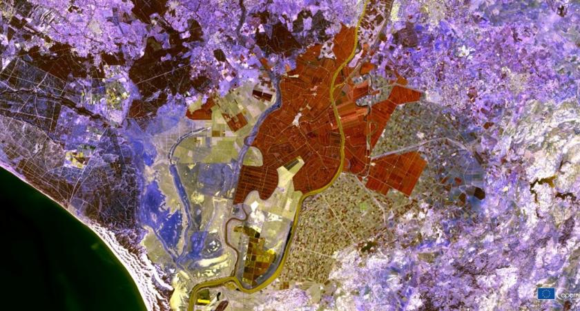
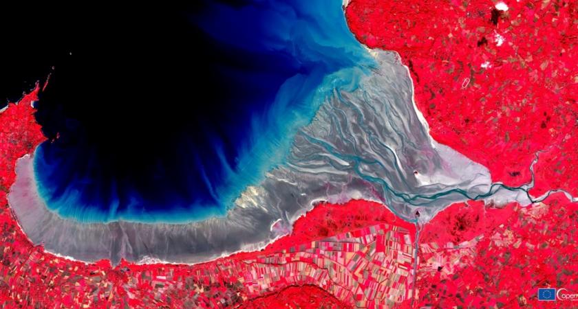
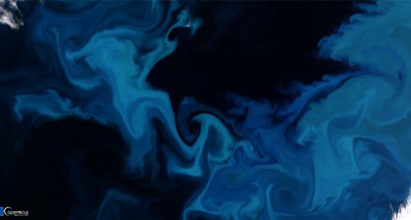
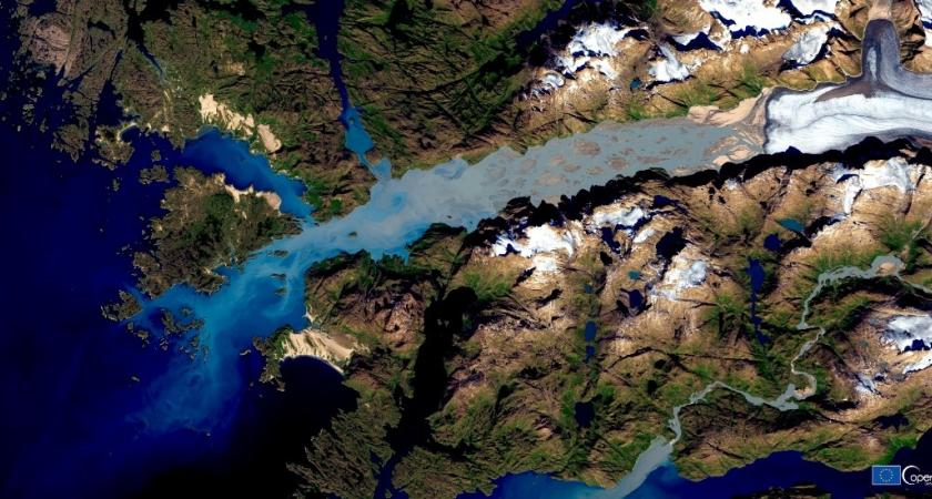
Planet Earth is a piece of art and perspective is everything.
Come admire some of the most iconic Canadian and European landscapes through a unique collection of 24 remarkable images captured by a constellation of satellites called the Copernicus Sentinels.
Marvel at immensely beautiful images each accompanied by fascinating narratives about the ecosystems captured by these special satellites.
From above Europe, discover phytoplankton bloom in the Barents Sea and sea glaciers in the Alps and explore the land of the midnight sun in Norway and fall foliage phenomena in Italy’s Abruzzo National Park. From above Canada, admire spectacular views of melting ice caps in Nunavut and Labrador Sea ice swirls and see for yourself why the Manicouagan Reservoir is called the Eye of Québec.
Featuring natural colour images and special visualizations, discover the striking colours and wondrous shapes and patterns that reflect the majesty of nature, from ice and water to vegetation, rock, and soil.
The Copernicus Sentinels were named after Nicolaus Copernicus, a Renaissance-era astronomer and mathematician credited for Heliocentric Theory of the universe, the idea that the planets revolve around the sun instead of the Earth.
Eyes on the Earth
The EU Copernicus Earth Observation Programme —called Europe’s eyes on Earth— is at the forefront of Earth observation data. The Copernicus Sentinel-2 mission includes two twin satellites equipped with a multispectral sensor providing data in 13 different spectral bands.
Thanks to these onboard sensors, the Copernicus Sentinels monitor ecosystems to help us develop global data maps that help detect, forecast, and combat climate change. They keep a watchful eye on everything, from the atmosphere, seas, oceans and glaciers to landmasses, soil erosion, and volcanos.
A Better Understanding of Our Planet
Monitoring the impacts of climate change on the planet’s ecosystems is fundamental to maintaining and improving quality of life for us here on Earth. The vast amount of data the Copernicus Sentinels provide is central to this mission.
They help detect water quality and land pollution and monitor natural disasters to help us understand our planet and the impact we have on it. Thanks to multi-temporal NDVI composites, scientists can also compare images to monitor how vegetation develops and grows.
The EU and Canada are great supporters of data sharing and open science in the quest to understand climate change, particularly as Canada’s Arctic is one of the places most impacted by climate change.
---
Share and explore more about the Copernicus exhibition
#Copernicus #EarthArt #EUCanada45
Marking the 45th anniversary of the European Union Delegation to Canada, this special exhibition is presented thanks to the European Commission’s Directorate-General for Defence Industry and Space, and the Delegation of the European Union to Canada.
Access to the Copernicus Exhibition is included with your ticket from any Montréal Science Centre exhibition.
“We are thrilled to be part of the highly-anticipated re-opening of the Montréal Science Centre and present this unique collection of 24 satellite images showcasing the majestic beauty of our Planet Earth from space. These images were captured by Copernicus Sentinels, a set of dedicated satellites orbiting the Earth since 2014,” said Dr. Melita Gabrič, Ambassador of the European Union to Canada. “We would like to thank our friends at the Montréal Science Centre for hosting this exhibit marking the 45th anniversary of the Delegation of the European Union to Canada. Canada and the European Union are strong believers in data sharing and open science. We have certainly gained new understanding of the importance of science, research and innovation in the wake of the pandemic.”